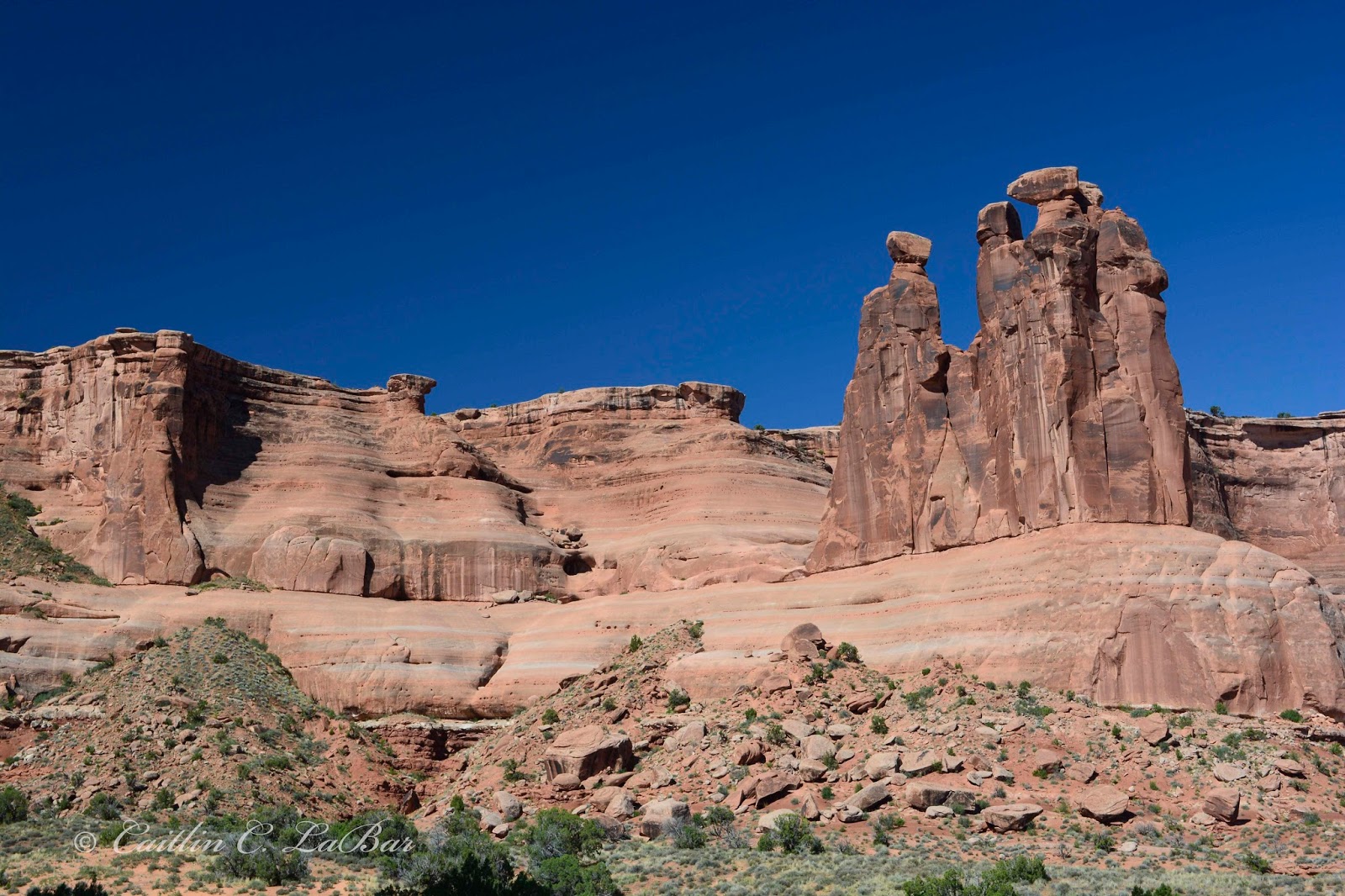
Day 4 of my trip involved a breathtaking drive through western Colorado on highways and forest roads, starting with a sunrise drive from Grand Junction to the top of Grand Mesa, the world's largest flat-topped mountain (the top is about 500 square miles)! There were many small lakes and ponds in between the aspen and evergreen trees with numerous wildflowers just beginning to bloom. I stopped at the first lake and watched the sun rise over the trees while listening to all the birds singing, it was lovely, but came to an end about ten minutes later when the mosquitoes found me. The drive across the top was very peaceful, but I was too early in the morning, and it was too cold, to see any butterflies.
After dropping down to Orchard City and over to Paonia, I headed over Kebler Pass to Crested Butte via a well-maintained dirt road, where I quickly discovered that Coloradans love to drive fast on the wrong side of the road around corners (!) and that there are a lot of mountain bikers in Colorado. After creeping through all the tourists in Crested Butte, I took the dead-end road north up to Gothic, home of the Rocky Mountain Biological Laboratory. I first learned about this place over a dozen years ago when I was thinking about going to Colorado State University, so I was quite excited to see it. Afterwards I returned to Crested Butte and continued northwest to Salida for the night.
 |
| ...and another National Forest! |
 |
| Information sign about the area |
 |
| Information sign about the area |
 |
| Looking north, back towards Grand Junction and the Plateau Valley |
 |
| A small lake I stopped at to watch the sun rise and listen to the songbirds |
 |
| On top of Grand Mesa, reveling in the wildflowers and peacefulness |
 |
| Panorama of one my favorite stops while driving across Grand Mesa |
 |
| Cedaredge overlook - looking south towards Surface Creek Valley and the towns of Cedaredge and Orchard City |
 |
| Beginning the drive over Kebler Pass to Crested Butte (Gothic is just north of Mt. Crested Butte) |
Kebler Pass Road
Oarisma garita Garita Skipperling, 1
Papilio zelicaon Anise Swallowtail, 1 male
Papilio rutulus Western Tiger Swallowtail, 1 male
Papilio multicaudata Two-tailed Tiger Swallowtail, 1 male
Papilio eurymedon Pale Tiger Swallowtail, 1
Pieris marginalis Margined White, 1 male
Pontia protodice Checkered White, 2 females
Pontia occidentalis Western White, 1 male
Lycaena helloides Purplish Copper, 2 males
Icaricia saepiolus Greenish Blue, 3 males
Chlosyne nycteis Silvery Checkerspot, 5+
Limenitis weidemeyerii Weidemeyer's Admiral, 1 male, 1 female
Coenonympha tullia Ochre Ringlet, 1
 |
| Next up, Kebler Pass and the Gunnison National Forest! |
 |
Looking southwest at (I think) East Beckwith (12,432 ft) and West Beckwith (12,185 ft) mountains
and Mt. Gunnison (12,719 ft) in the distance to the right |
 |
Looking back to the northeast at what I think is The Raggeds (the striped-looking ridge, 12,641 ft)
and Lightning Ridge (to the right, 9,223 ft) |
 |
| At Trout Creek, where the Mule's Ears were in full bloom! |
 |
| View of all the subalpine meadows and aspen between Kebler Pass and Crested Butte |
Subalpine meadow north of Gothic
Oarisma garita Garita Skipperling, 3+
Pieris marginalis Margined White, 5+
Colias alexandra Queen Alexandra's Sulphur, 1 female, saw 10+ others
Cupido amyntula Western Tailed Blue, 1
Icaricia saepiolus Greenish Blue, 1 male
Agriades glandon Arctic Blue, 1 male
Chlosyne palla Northern Checkerspot, 2+
Erebia epipsodea Butler's Alpine, 5 males, 2 females, saw many others
Coenonympha tullia Ochre Ringlet, 10+
 |
| One of the two entrance signs at the Rocky Mountain Biological Laboratory |
 |
| Part of the Rocky Mountain Biological Laboratory with Gothic Mountain (12,625 ft) towering overhead |
 |
| Visitor Center and gift shop at the Rocky Mountain Biological Laboratory |
 |
| More of the Rocky Mountain Biological Laboratory, looking east at White Rock Mountain (13,539 ft) |
 |
| North end of the Rocky Mountain Biological Laboratory with the foothills of Avery Peak (12,653 ft) on the right |
 |
| Huge meadow north of the Rocky Mountain Biological Laboratory at the base of the north end of Gothic Mountain |
 |
| Wildflowers just starting to bloom, looking north towards Mt. Bellview (12,519 ft) |
 |
Colorado Blue Columbine (ranges from blue to white), the flowers are much bigger than
realized! They're 2-3 inches across! |
 |
| Parking area for various trails north of the Rocky Mountain Biological Laboratory, at the base of Gothic Mountain |
My last stop after all my day's adventures, was to finally cross the Continental Divide (by car instead of air) at Monarch Pass, before continuing to Salida for the night. I took the tram to the top of the peak, above 12,012 ft elevation!
 |
| On top of the Continental Divide! |
 |
| Tram ride to the top of the mountain |
 |
| Information about the tram (click to view fullsize) |
 |
| The tram was celebrating their 50th "birthday", it first started running on June 1st, 1966 |
 |
| The tram terminal on top of the peak |
 |
| I think this was looking southeast or east |
 |
| Looking north or northwest |
 |
| Panorama of the northwest side of the mountain, you can see the highway and a ski area in the distance (click for fullsize) |
 |
| The only two insects I saw at the top, trying to stay out of the horrendous wind by crawling along the ground! |
 |
| The south/southwest side of the peak was covered in Alpine Avens (Geum rossii) |
 |
| I was interested in the soil, it looked more like a desert surface, composed of small rock granules. On the right, a mix of Alpine Avens (Geum rossii) and Alpine Forget-me-not (Eritrichium nanum) |
 |
| Clockwise from top left: Dwarf Clover (Trifolium nanum), Alpine Sandwort (Minuartia obtusiloba), Moss Campion (Silene acaulis), Alpine Forget-me-not (Eritrichium nanum) |
 |
| Clockwise from top left: Alpine Goldenweed (Tonestus lyallii), Alpine Bluebells (Mertensia alpina, I think), Lance-leaf Stonecrop (Sedum lanceolatum), Featherleaf Fleabane (Erigeron pinnatisectus) |